The national road No.4C, Ha Giang – Dong Van – Meo Vac, is very sinuos. Ma Pi Leng – Meo Vac mount with the length of 7 km, lies between Dong Van and Meo Vac districts where a lot of workers recruited from such provinces as Cao Bang, Lang Son, Thai Nguyen, Tuyen Quang and Ha Giang worked very hard for 11 years to build this road. It is, now, invested to build a stop for tourists taking photos of Nho Que river scenery and enjoying a thrilling feeling. Ma Pi Leng commune is the vast region which is situated in the middle of Dong Van and Meo Vac district, is 16 kilometre from Meo Vac township. This place is considered as “the most spectacular grandiose”.

During the French time there was no road like we see to day that connected Ha Giang Town with DVKP. Traffic and transportation was all done either by foot or horse and it took 3 days to get to DVKP from Ha Giang Town.
The National Road No. 4C Ha Giang-Dong Van-Meo Vac was decided to be built after North Vietnam was liberated and it took 6 years (1959-1965) to build a distance of app. 300km. So difficult to build and so happy when it was done that the road was called “The Happiness Road”. More than 2 million workdays were spent by youngsters of 16 nations from 8 provinces of North Vietnam. But what is unforgetable is the construction of the Ma Pi Leng Pass, the most difficult pass to build but also the most fascinating and beautiful pass to enjoy in Vietnam. It took the youngsters one and a half year to connect the 24km distance between Dong Van and Meo Vac Towns but the Ma Pi Leng Pass alone already took them 11 months or more than 330 days of hanging themselves on rock cliffs to make it through.
Ma Pi Leng, in Hmong languague means “Horse nose bridge”. Some other literature sources argue it actually is Mau Pi Leng, describing the feeling of a mouse when it is going to fall into the clutches of the cat. Both explanations mean nothing else than the dangerous, breath-taking feeling of the traveller when passing by this pass. But perhaps only on this pass can the traveller feel the greatness of Mother Nature, due both to the deep canyon of the Nho Que river underneath and the surrounding high mountains, resulting in the height difference of more than 1km, which is added by verticall cliffs and barren rock deserts all around.
Ma Pi Leng Pass is probably the most worth sightseeing of DVKP, both in terms of landscape and history, but moreover, also in terms of geoheritage. The informed traveller can find here evidence of faulting, folding, karstification, stratigraphic type sections, stratigraphic unconformities, chrono-stratigraphic boundaries and different types of both karst and non-karst landforms – a superbly high concentration of geosites wherefore one would otherwise have to spend days to find. Practically it would not be exaggerating to call Ma Pi Leng Pass a super-geosite. At present a stopover station has been built for the traveller to stop by to enjoy the thrill of the landscape. An explanation board on the geological values of the site was also prepared and a lot more would be provided to completely convince the traveller that he is in the Heaven. The Province is preparing to have it recognized by the Government as a national historic-cultural-landscape vestige to which geological values would be significance addition.

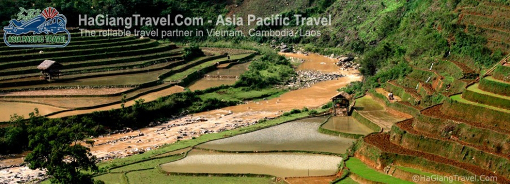
Stand in the peak of Ma Pi Leng, tourists can view the whole scene of huge highland area with endlessly range of mountain of all sizes, particularly interesting shapes. Due to geological changes, a lot of vertical cliffs were formed like giant walls. Bottom the feet of Ma Pi Leng is The Mong’s village loom in the fog, Nho Que river runs like a colorful thread through the cliffs.
Ma Pi Leng not only is beautifully natural landscape but also a historical evidence for memorizing the volunteer youth.


